

Civitates app for iPhone and iPad
Developer: Jack Sheriff
First release : 30 Dec 2014
App size: 31.92 Mb
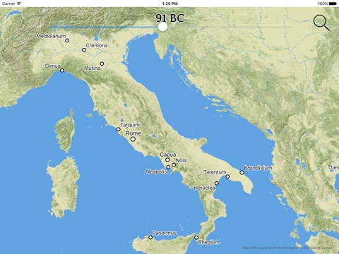
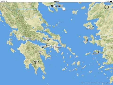
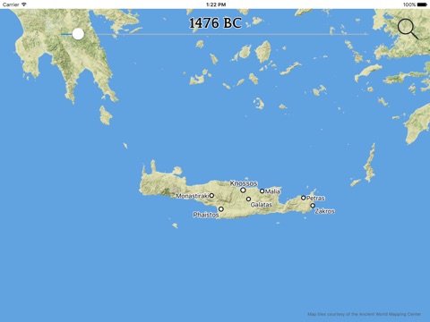
Civitates is an interactive map that lets you explore the geography of the ancient and medieval world. Select a year and the map displays the cities that existed at that time. Zoom in to see the details of a region or zoom out to see an entire continent.
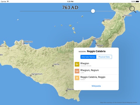
Every city includes the full set of names that were associated with it over time. These names are searchable, making it easy to find any city that youre interested in.
Civitates uses the beautiful map tiles created by The Ancient World Mapping Center. These map tiles show the world as it was before the modern age and provide a wonderful context for exploring the map.
*** Civitates includes cities for the Italian peninsula, starting with the earliest Etruscan, Greek, and Latin settlements, and continuing through to the Late Medieval period.
Also includes cities for the Greek mainland, Crete, Cyprus, and nearby islands. Starts with the Minoan cities of Crete and continues to the Late Medieval period.